
Basic Information
Mexico City is the Federal District (Distrito Federal), capital of Mexico and seat of the federal powers of the Mexican Union. It is a federal entity within Mexico which is not part of any one of the 31 Mexican states but belongs to the federation as a whole. Mexico City is the country's largest city as well as its most important political, cultural, educational and financial center.
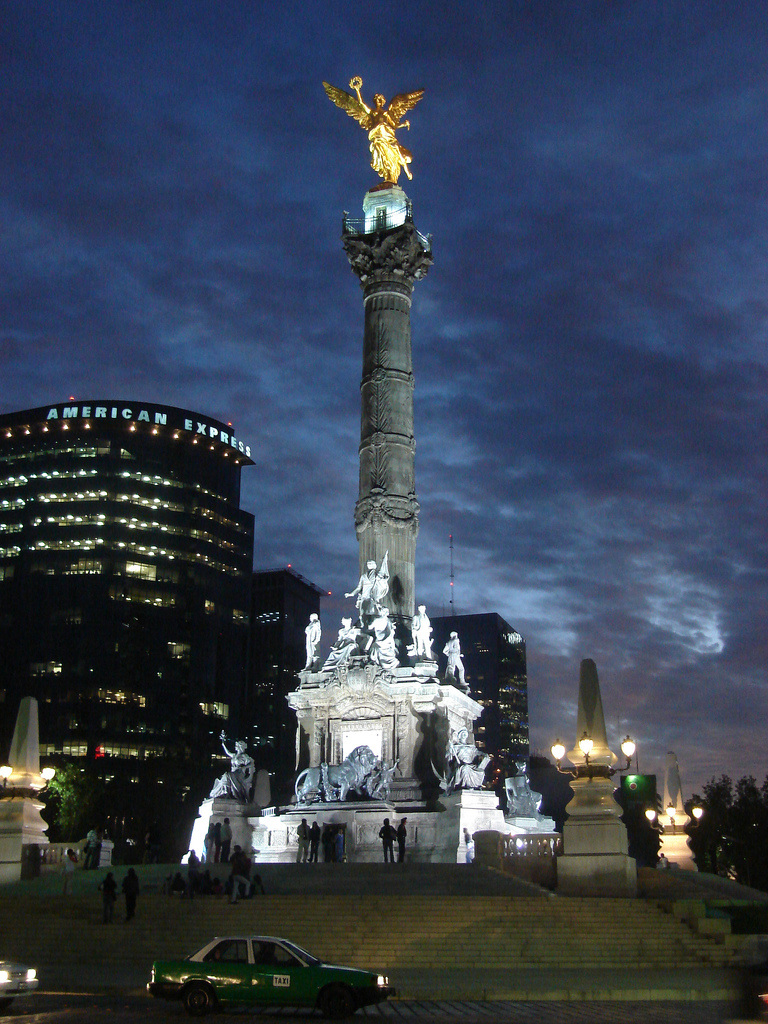
As an "alpha" global city Mexico City is one of the most important financial centers in North America. It is located in the Valley of Mexico (Valle de México), a large valley in the high plateaus at the center of Mexico, at an altitude of 2,240 metres (7,350 ft). The city consists of sixteen boroughs.
The 2009 estimated population for the city proper was around 8.84 million people, and has a land area of 1,485 square kilometres (573 sq mi). According to the most recent definition agreed upon by the federal and state governments, the Mexico City metropolitan area population is 21.2 million people, making it the largest metropolitan area in the western hemisphere, the fifth largest agglomeration and the largest Spanish-speaking city in the world.
The Greater Mexico City has a gross domestic product (GDP) of US$390 billion in 2008, making Mexico City urban agglomeration the eighth richest metropolitan area in the world. The city was responsible for generating 21% of Mexico's Gross Domestic Product and the metropolitan area accounted for 34% of total national GDP.
Sources:
http://en.wikipedia.org/wiki/Mexico_City
Geography
Mexico City is located in the Valley of Mexico, sometimes called the Basin of Mexico. This valley is located in the Trans-Mexican Volcanic Belt in the high plateaus of south-central Mexico. It has a minimum altitude of 2,200 meters (7,217 feet) above sea level and is surrounded by mountains and volcanoes that reach elevations of over 5,000 meters. This valley has no natural drainage outlet for the waters that flow from the mountainsides, making the city vulnerable to flooding. Drainage was engineered through the use of canals and tunnels starting in the 17th century. The city primarily rests on what was Lake Texcoco. Seismic activity is frequent here. Lake Texcoco was drained starting from the 17th century. Although none of the lake waters remain, the city rests on the lake bed's heavily saturated clay. This soft base is collapsing due to the over-extraction of groundwater, called groundwater-related subsidence. Since the beginning of the 20th century, the city has sunk as much as nine meters in some areas. This sinking is causing problems with runoff and wastewater management, leading to flooding problems, especially during the rainy season. The entire lake bed is now paved over and most of the city's remaining forested areas lie in the southern boroughs of Milpa Alta, Tlalpan and Xochimilco.
Sources:
http://en.wikipedia.org/wiki/Mexico_City#Geography
Sources:
http://en.wikipedia.org/wiki/Mexico_City#Geography
ClimateMexico City has a subtropical highland climate (Köppen climate classification Cwb), due to its tropical location and high elevation.
Overall precipitation is heavily concentrated in the summer months, and includes dense hail. The central valley of Mexico rarely gets precipitation in the form of snow during winter; the two last recorded instances of such an event were on March 5, 1940 and January 12, 1967. The region of the Valley of Mexico receives anti-cyclonic systems. The weak winds of these systems do not allow for the dispersion, outside the basin, of the air pollutants which are produced by the 50,000 industries and 4 million vehicles operating in and around the metropolitan area. The area receives about 820 millimetres (32.3 in) of annual rainfall, which is concentrated from June through September/October with little or no precipitation the remainder of the year. The area has two main seasons. The rainy season runs from June to October when winds bring in tropical moisture from the sea. The dry season runs from November to May, when the air is relatively drier. This dry season subdivides into a cold period and a warm period. The cold period spans from November to February when polar air masses push down from the north and keep the air fairly dry. The warm period extends from March to May when tropical winds again dominate but do not yet carry enough moisture for rain. Sources: http://en.wikipedia.org/wiki/Mexico_City#Climate |
http://www.flickr.com/photos/poisonorange/428231300/ by poison orange
|
Enviroment
Originally, much of the valley laid beneath the waters of Lake Texcoco, a system of interconnected saline and freshwater lakes. The Aztecs built dikes to separate the fresh water used to raise crops in chinampas and to prevent recurrent floods. These dikes were destroyed during the siege of Tenochtitlan, and during colonial times the Spanish regularly drained the lake to prevent floods. Only a small section of the original lake remains, located outside the Federal District, in the municipality of Atenco, State of Mexico. In recent years, architects Teodoro González de León and Alberto Kalach, along with a group of Mexican urbanists, engineers and biologists, have developed the project plan for Recovering the City of Lakes. The project, if approved by the government, will contribute to the supply of water from natural sources to the Valley of Mexico, the creation of new natural spaces, a great improvement in air quality, and greater population establishment planning.
The federal and local governments have implemented numerous plans to alleviate the problem of air pollution (such as carbon monoxide), including the constant monitoring and reporting of environmental conditions, such as ozone and nitrogen oxides. If the levels of these two pollutants reach critical levels, contingency actions are implemented which may include closing factories, changing school hours, and extending the A day without a car program to two days of the week. To control air pollution, the government has instituted industrial technology improvements, a strict biannual vehicle emission inspection and the reformulation of gasoline and diesel fuels. Data from the city's 36 air-quality monitoring stations show lead levels down 95 percent since 1990, while sulfur dioxide has fallen 86 percent, carbon monoxide 74 percent, and peak ozone levels 57 percent since 1991. In 1990, Patricia Saad Sotomayor reported in the Mexico City daily Excélsior that "100,000 children die every year as a result of pollution in the Mexico City metropolitan area, 250,000 people suffer from eye diseases..and life expectancy has been reduced by up to ten years, according to the National Environmentalist Groups." in a report to President Salinas. At the time, according to the United Nations pollution scale "which set 100 as the maximum level before grave health problems begin", Mexico City's level was 97.5, compared to 4.5 for New York City, and 2.5 for Milan, Turin, and Los Angeles.
In 1986, the non-urban forest areas of the southern boroughs were declared National Ecological Reserves by president Miguel de la Madrid Hurtado. Other areas of the Federal District became protected over the following years.
Sources:
http://en.wikipedia.org/wiki/Mexico_City#Environment
Transportation
Airports:-Mexico City International Airport
-Lic. Adolfo López Mateos International Airport
Rail:-Sistema de Transporte Colectivo Metro
-Tren Suburbano Suburban Railway
Cycling
The local government continuously strives for a reduction of massive traffic congestion, and has increased incentives for making a bicycle-friendly city. A bicycle lending program was created in the Centro Historico, in which a citizen or tourist can rent a bicycle for 3 hours, by filling out a simple form and presenting a valid ID, the so-called Cicloestaciones are located primarily by the Paseo de la Reforma.
Others:
The city government also operates a network of large buses, in contrast with the privately operated microbuses (peseros), with fares barely exceeding that of the metro. Electric transport other than the metro also exists, in the form of several Mexico City trolleybus routes and the Xochimilco Light Rail line, both of which are operated by Servicio de Transportes Eléctricos. The central area's last streetcar line (tramway, or tranvía) closed in 1979, but the reintroduction of streetcars to the historic city center is planned. The city's first bus rapid transit line, the Metrobús, began operation in June 2005, along Avenida Insurgentes. A second line was constructed along Eje 4 Sur, opening in December 2008, and a third line opened in February 2011, serving Eje 1 Poniente between Tenayuca and Metro Etiopía. As the microbuses were removed from its route, it was hoped that the Metrobús could reduce pollution and decrease transit time for passengers. Also, since late 2002, the white and green taxis have been joined by red and white ones as part of a program to replace older vehicles with new ones.
Sources:
http://en.wikipedia.org/wiki/Mexico_City#Transportation